Farming
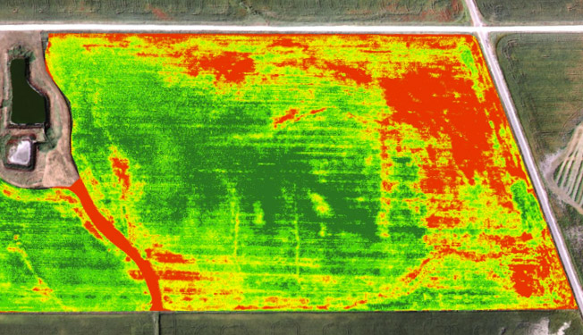
Our aerial mapping services can measure the health of vegetation and provide you with colorized images that makes it easy to identify areas that need attention. This has become one of the most successful tools to easily and quickly assess plant and crop health.

Turf Maintenance
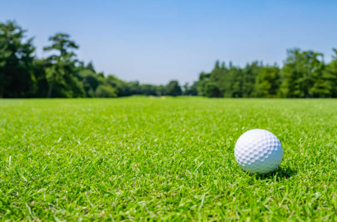
Golf course management can benefit from these colorized aerial maps to early-detect stressed turf and locations that require moisture adjustments. This data can be gathered quickly on a weekly or even daily basis as part of the grounds upkeep routine.

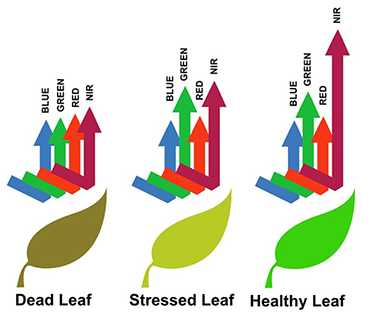
The area of interest is photographed from above with a high-resolution infrared camera. Multiple images are taken, stitched and processed into a single colorized image. Healthy vegetation reflects a greater amount of near-infrared light than stressed vegetation, so the image is colorized to easily locate those areas.

